HB 2054
As Reported By House Committee On: Agriculture
& Ecology
Title: An act relating to water resource management.Brief Description: Authorizing local watershed planning and modifying water resource management.
Background: Water Resource Management - General. With the adoption of the surface water code in 1917 and the groundwater code in 1945, new rights to the use of water are established under a permit system.
However, certain uses of groundwater not exceeding 5,000 gallons per day are exempted from this permit requirement. The permit system is based on the prior appropriation doctrine that "first in time is first in right." Other laws authorize the state to establish minimum flows and levels for streams and Lakes. The permit system and the state's laws for managing water resources are administered by the Department of Ecology (DOE).
Water Resources Inventory Area (WRIA) Planning. The Water
Resources Act directs the DOE to develop a comprehensive state water resources program for making decisions on future water resource allocation and use. The act permits the DOE to develop the program in segments. Under the act, the DOE has divided the state into 62 WRIAs.
designate and manage groundwater areas, subareas, or depth zones to prevent the overdraft of groundwaters. In 1985, legislation was enacted that permits groundwater management studies to be initiated locally and allows local governments to assume the lead agency role in developing local groundwater management programs.
Interties. Public water system interties were expressly
acknowledged by statute in 1991, and new interties were authorized under
certain circumstances. By definition, interties do not include the development of new sources of supply to meet future demand.
Summary of Substitute Bill: WRIA Planning. The county with the
largest population residing within a WRIA may choose to initiate local water resource planning for the WRIA. If planning is conducted for the WRIA, one planning unit for the WRIA is to be appointed as follows: one member representing each county in the WRIA, appointed by the county; one member for each county in the WRIA (but not less than two) representing collectively all cities in the WRIA, appointed by the cities jointly; two members representing collectively all public water utilities in the WRIA, appointed by the utilities jointly; one member representing collectively all conservation districts in the
WRIA, appointed by the districts jointly; four members representing the general citizenry, appointed by the counties jointly; and six members representing various interest groups, appointed by the counties jointly. If one or more federal Indian reservations are in the WRIA, the planning unit includes a tribal representative of the tribes on the reservations, appointed by the tribes. Representatives of the departments of Ecology, Fish and Wildlife, and Transportation are nonvoting members of the planning unit. In addition, the largest water purveyor in a WRIA is to be represented on a planning unit for a WRIA in King, Pierce, or Snohomish counties, whether the main offices of the purveyor are or are not located in the WRIA. Except for multi-WRIA planning, the lead agency for WRIA planning follows: in western Washington, the largest
water utility in the WRIA; in eastern Washington, the county with the largest population residing in the WRIA. The lead agency provides staff support for the planning process.
Substitute Bill Compared to Original Bill: Added by the
substitute bill are the following provisions: adding state and tribal
representatives to the planning unit; requiring a planning unit to begin work once two-thirds of the appointments have been made; requiring the unit to seek consensus in decision-making; prohibiting planning units from setting instream flows for the Columbia or Snake rivers and limiting their authority to set instream flows to planning areas that are tributary to the Columbia or Snake rivers or to marine water; allowing the DOE to request a court decision regarding conflicts in a plan with state or federal law; preventing plans from interfering with federal reclamation projects; identifying circumstances under which interties may be used as a primary or secondary source of supply or may be used for the development of new sources; allowing pre-1991 interties to be used to full design or built capacity; and preventing relinquishment for nonuse if the nonuse is caused by water efficiency or processing of certain transfers.
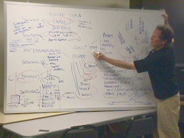
Here is a map of the Planning Unit negotiating table
No comments:
Post a Comment